Professional drone usage can be a great help and support in agriculture.
Fly By Drones helps farmers to optimize the use of inputs (seeds, pesticides, fertilizers, water…), to react more quickly and efficient to threats (weeds, pests, fungi,…), to save time in crop scouting(validate treatment/actions to take), to improve variable-rate prescriptions in real time and estimate yield from a field.
The drone’s sensors and digital imaging capabilities allow the farmers to have a richer picture of their field and plants and provides the ability to gather ‘live’ information needed to be used for applications like planning, crop production and monitoring, health assessment, soil and field analysis.
Efficient and productive agriculture nowadays is an intensive high-tech business requiring value added specialized service providers operating with the latest new professional equipment on the market backed by topnotch software handled by professionals.
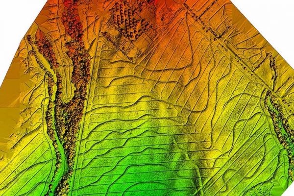
3D & Irrigation mapping
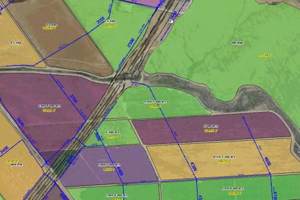
Mapping & 360°
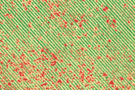
Weeds, Pest & Disease Control
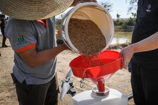
Sowing Extra Seeds
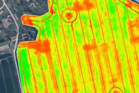
Crop Scouting
& Soil Sampling
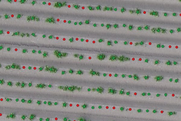
Crop Counting
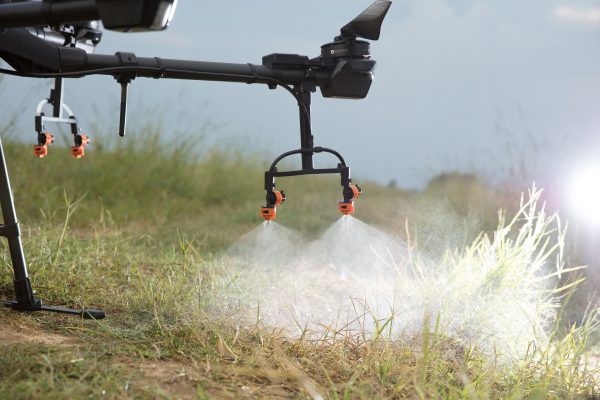
Spraying (liquids)
& Sprinkling (granules)
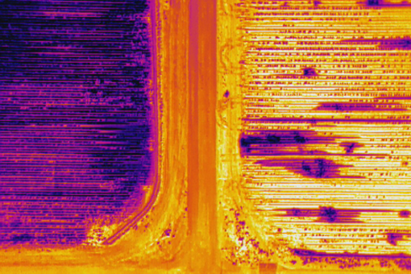
Irrigation
& Soil Analysis
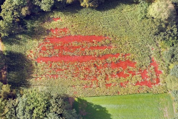
Wildlife Damage Control
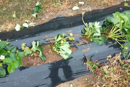
Security
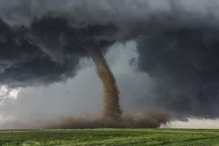
Storm Damage Analysis
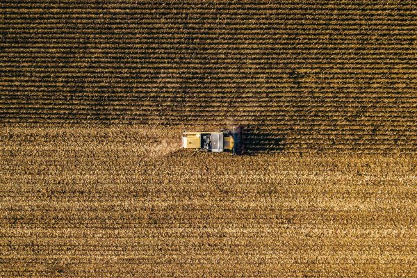
LIVE Streaming
Case study:

The above calendar gives a simulation where our drones can make a difference:
From March, our drones can make an evaluation of the soil (irrigation, erosion, weeds/pest…) and compare it to previous evaluations.
From April, the farmer can plant his seeds.
From May, when the seeds emerge from the ground, our drones can count how many spots have missing plants and need to be resowed. This may happen if birds ate the seeds or erosion took the seeds away for example.
Our drones can then plant seeds at these empty spots without the intervention of a tractor (who compacts the ground) or a human that has to go each spot to plant the seeds by hand.
From June, when the plants are in their growth stage, our drones can do crop scouting:
Assessing the health of the crops (NDVI), and detecting any needs for care/causes of stress such as:
Lack of nutrients (nitrogen (N), phosphorus (P), and potassium (K)).
Our drones can, later on, dispense locally fertilizers only where it is needed.
Lack/excess of water.
Our Drones can produce a 3D irrigation map to design a new irrigation or drainage plan.
Presence of weeds/pest/diseases.
Our drones can apply, with high precision, chemicals (herbicides/pesticides) or a natural/organic solution (predators…).
Making an estimation of the coming harvest/yield.
Our drones estimate the harvest/yield by combining a 3D model of the field, the health of the crops, and analyzing growth rate by comparing the data over time.
From September, the harvesting period starts.
Our drones can check if the ground is dry enough for the heavy machines to access the field and to avoid that they would get stuck in muddy parts on the field.
From October or after harvesting, previous irrigation/drainage plans can be carried out and planning for the next year can be done with help of the data our drones provided.
In the unfortunate case of a natural event, causing damage to the plantation (storm, flooding…), our drones can also help to make an assessment of the damage. We can, for example, provide data about the health of the crops, counting how many plants survived, analyze if a certain amount of soil has moved after a flooding, provide the necessary proofs for the insurance company and make a comparison before and after the event…
